Don Feidner

Lanzarote - 530 Kilometers

Last Update: 27 December 2010

Zurück zur Hauptseite!

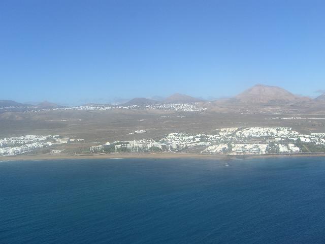
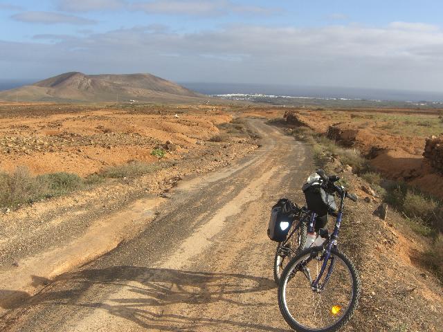
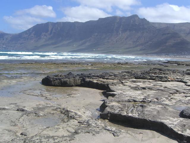
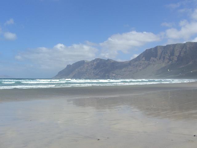
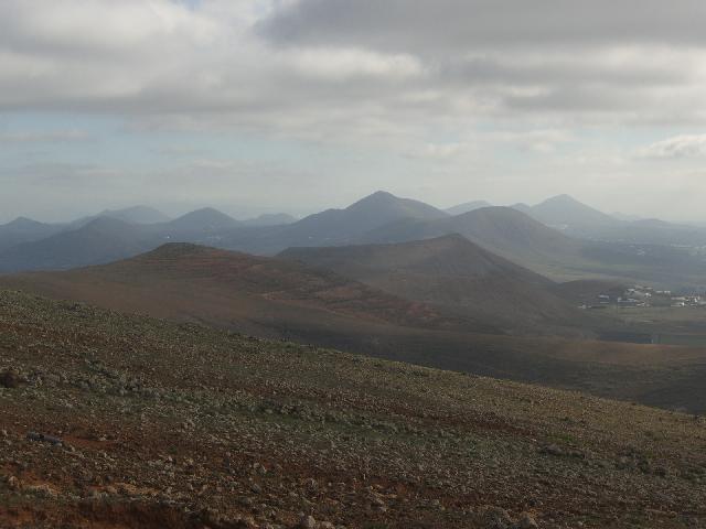
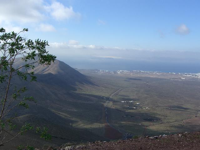
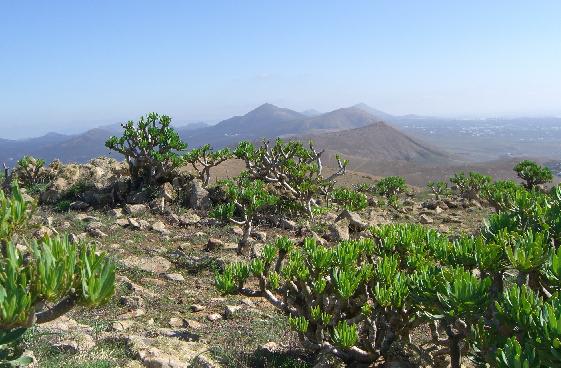
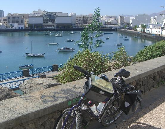
Lanzarote, a young volcanic island in the Canary Islands, politically belongs to Spain. It is only 90 miles from Morocco and 100 miles from Western Sahara in Africa. It is a very sunny very hot island that is much like the Sahara Desert itself.

This is the first trip I made by taking my bicycle on a plane -- an interesting experience in itself. Just removing the pedals and letting air out of the tires isn’t enough. I also had to remove the handlebars and seat and strap them to the crossbar. I should have taken the front axle out of the front wheel when I removed it, because it was sticking out of the box when it arrived in Arrecife. The headlight was also bent entirely backwards. On the way back, I had learned my lesson and removed the axle and the front light entirely taping them securely to the bike.

As you can see, I took my old TREK training bike on this trip, because I didn’t know what to expect. 530 Kilometers doesn’t sound like a long trip, but when you’re riding up the sides of volcanoes against a strong ocean breeze on a rocky mule path, it is equivalent to over 1500 km on the smooth bike trails in Germany. I avoided the highways simply because I don’t like breathing exhaust fumes.

What a barren land it was, with cactus everywhere and no grass at all. The lawns were made of black lava rocks. Why did I go here? It was a perfect place to bake out a cold I had been fighting for two months. I returned brown and feeling healthier than ever before. And biking in Lanzarote was a new experience.

Castillo Santa Barbara near Teguise was situated high atop a mountain where I enjoyed my lunch and a beautiful view of the entire island.

La Famara Beach

La Famara Beach

Natural Arch near Guatiza

In the background is Arrieta and Punta Las Mujeres, fishing villages on the east side of the island.

On this cloudy, stormy day, the waves in La Santa were as large as the waves on the North Shore of Oahu in Hawaii. 4 meters - 12-15 feet high, the waves rolled in one after another without a lull. The surfer on the left was swallowed up by the wave and rolled. The surfer on the right rode the wave over 200 yards before slipping easily back over the top. Nope, it didn’t rain -- not a drop in 3 weeks.

Some trails were better traveled on foot. This photograph was taken high above the village of Femes looking to the north toward the national park. As you can see, there are countless volcanoes on this barren island. 

From the top of the highest volcano on the island, you can see the island of Fuerte Ventura, which means “much luck.” I think there was a spelling mistake. If the island were called Fuerte Viento (strong wind), it would be more correct. 

This is one of my favorite photographs on the hike. The plants in this photograph are poisonous. I was told by a local resident on the island of Tenerife that the fluid in the leaves and stems would cause the skin to break out in a rash.

Never alone, I met some wonderful people every day - like Klara and Dietmar. I was on the way to Yaiza in the valley below when I met this really nice couple.

In Arrecifa, the inner bay offered a place for the smaller boats to anchor. It was also a great place to try some gambas, or papas arrogadas with mojo sauce - specialty dishes of Lanzarote.

This photograph was taken near the airport on the way back home.

The best beach for swimming? Without a doubt, Playa Blanca on the south end of Puerto de Carmen. Gentle waves and warm water. Playa Blanca is over a mile in length and the strip above it is beautifully decorated with palm trees and many many restaurants.

BuiltWithNOF

RETURN to Don Feidner’s HOME PAGE

To return to the HOME page, you can also click the photograph at the top left corner at any time.

Visitors since 16 September 2006